
קובץ:Haute-Normandie region location map.svg

גודל התצוגה המקדימה הזאת מסוג PNG של קובץ ה־SVG הזה: 465 × 600 פיקסלים. רזולוציות אחרות: 186 × 240 פיקסלים | 372 × 480 פיקסלים | 595 × 768 פיקסלים | 794 × 1,024 פיקסלים | 1,587 × 2,048 פיקסלים | 969 × 1,250 פיקסלים.
לקובץ המקורי (קובץ SVG, הגודל המקורי: 969 × 1,250 פיקסלים, גודל הקובץ: 377 ק"ב)
| זהו קובץ שמקורו במיזם ויקישיתוף. תיאורו בדף תיאור הקובץ המקורי (בעברית) מוצג למטה. |
תקציר
| מיקום המצלמה | | תמונה זו ותמונות נוספות במיקום: OpenStreetMap |
|---|
| תיאור |
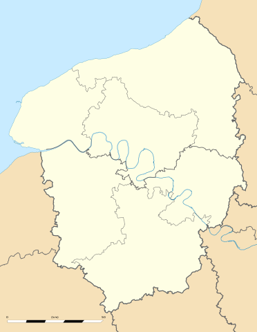
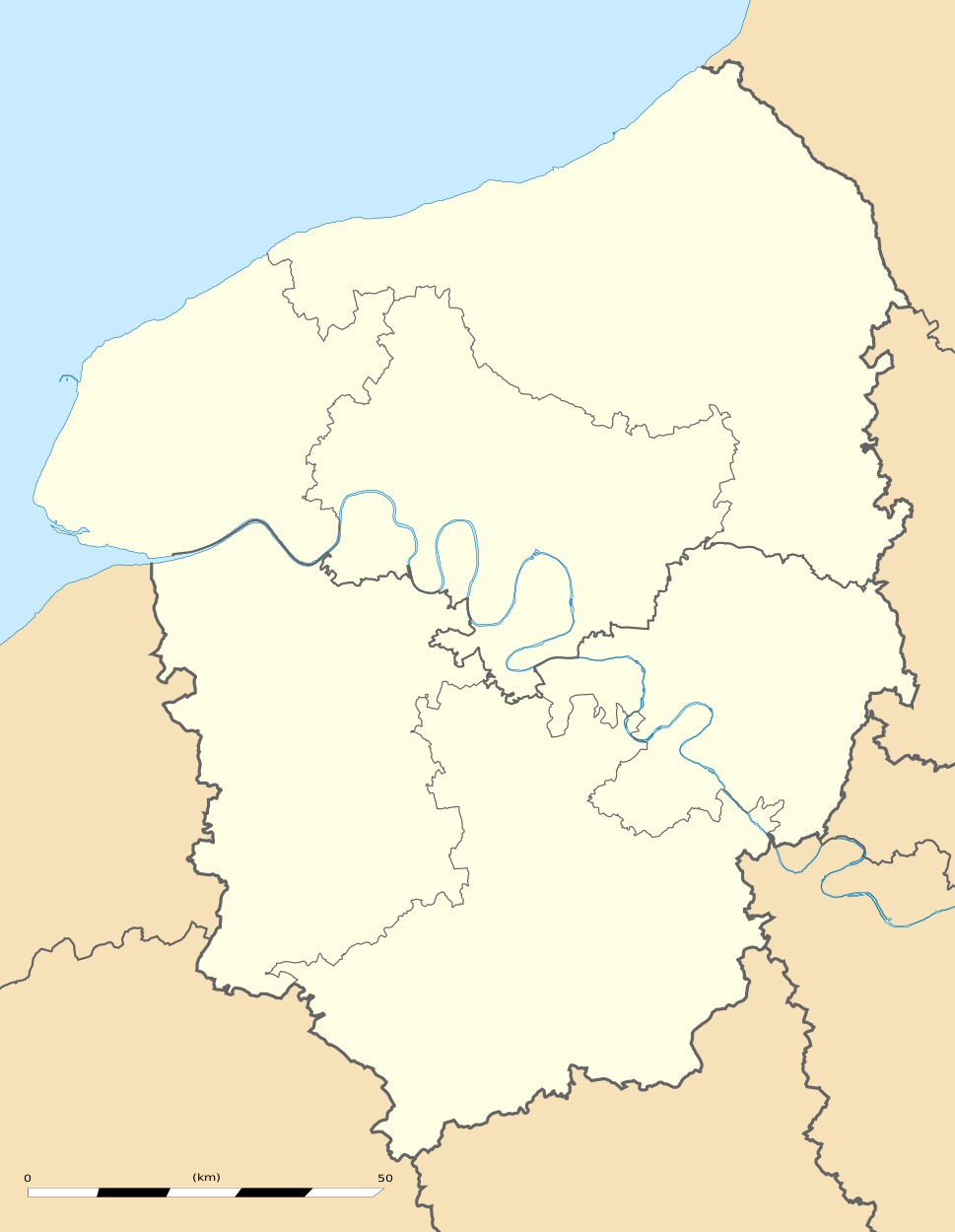
English: Blank administrative map of the region of Upper Normandy, France, for geo-location purpose, with distinct boundaries for regions, departments and arrondissements.
Français : Carte administrative vierge de la région de Haute-Normandie, France, destinée à la géolocalisation, avec limite distincte des régions, départements et arrondissements. Estimated scale: 1:560,000 (precision: 140 m)
Geographic limits of the map:
|
||
| תאריך יצירה | |||
| מקור |
נוצר על־ידי מעלה היצירה
|
||
| יוצר | Eric Gaba (Sting - fr:Sting) | ||
| אישורים והיתרים (שימוש חוזר בקובץ זה) |
|
||
| גרסאות אחרות |
|

רישיון
Eric Gaba, Wikimedia Commons user Sting, בעל זכויות היוצרים על היצירה הזאת, מפרסם אותה בזאת תחת הרישיון הבא:
הקובץ הזה מתפרסם לפי תנאי רישיון קריאייטיב קומונז ייחוס-שיתוף זהה 3.0 לא מותאם.
ייחוס: Eric Gaba, Wikimedia Commons user Sting
- הנכם רשאים:
- לשתף – להעתיק, להפיץ ולהעביר את העבודה
- לערבב בין עבודות – להתאים את העבודה
- תחת התנאים הבאים:
- ייחוס – יש לתת ייחוס הולם, לתת קישור לרישיון, ולציין אם נעשו שינויים. אפשר לעשות את זה בכל צורה סבירה, אבל לא בשום צורה שמשתמע ממנה שמעניק הרישיון תומך בך או בשימוש שלך.
- שיתוף זהה – אם תיצרו רמיקס, תשנו, או תבנו על החומר, חובה עליכם להפיץ את התרומות שלך לפי תנאי רישיון זהה או תואם למקור.
היסטוריית הקובץ
ניתן ללחוץ על תאריך/שעה כדי לראות את הקובץ כפי שנראה באותו זמן.
| תאריך/שעה | תמונה ממוזערת | ממדים | משתמש | הערה | |
|---|---|---|---|---|---|
| נוכחית | 20:05, 10 במרץ 2010 | | 1,250 × 969 (377 ק"ב) | Sting | == {{int:filedesc}} == {{Location|49|21|45|N|00|56|15|E|scale:500000}} <br/> {{Information |Description={{en|Blank administrative map of the region of Upper Normandy, France, for geo-location purpose, with distinct boundaries for re |
שימוש בקובץ
הדפים הבאים משתמשים בקובץ הזה:
שימוש גלובלי בקובץ
אתרי הוויקי השונים הבאים משתמשים בקובץ זה:
- שימוש באתר ar.wikipedia.org
- שימוש באתר bg.wikipedia.org
- שימוש באתר ca.wikipedia.org
- שימוש באתר ceb.wikipedia.org
- שימוש באתר cs.wikipedia.org
- שימוש באתר de.wikipedia.org
- שימוש באתר el.wikipedia.org
- שימוש באתר en.wikipedia.org
- שימוש באתר eo.wikipedia.org
- שימוש באתר es.wikipedia.org
- שימוש באתר fa.wikipedia.org
- שימוש באתר fr.wikipedia.org
- Pont de Brotonne
- École supérieure de commerce de Rouen
- Patinoire de l'Île Lacroix
- Salle des Cotonniers
- Stade Jules-Deschaseaux
- Université de Rouen-Normandie
- Aéroport Rouen Vallée de Seine
- Stade Maurice-Thoumyre
- Stade des Vertus
- Hippodrome de Rouen-Mauquenchy
- Centre commercial de Tourville-la-Rivière
- Palais des sports de Rouen
- Stade de la Cavée verte
- Stade Marcel-Billard
- Académie de Rouen (éducation)
- Square Marcel-Halbout
- Projet:Cartographie/Cartes standards/France
- Parc de découverte Eana
- Institut national de la boulangerie pâtisserie
- Chapelle Saint-Michel d'Ingouville
- Modèle:Géolocalisation/Haute-Normandie
- Modèle:Géolocdual/Haute-Normandie
- Golf d'Étretat
- Golf du Vaudreuil
- Golf de Rouen Mont-Saint-Aignan
- Golf de Saint-Saëns
- Golf de Dieppe-Pourville
- Modèle:Géolocalisation/Haute-Normandie/Documentation
- Stade Jean-Adret
- Wikipédia:Atelier graphique/Cartes/Archives/juin 2010